
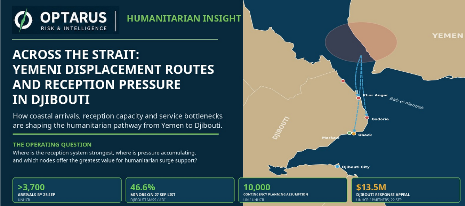
This Humanitarian Insight maps the displacement and reception system linking Yemen’s western coast with northern Djibouti. It examines coastal arrival points, the Obock–Markazi reception chain, host-community pressure, health referral, transport, shelter, WASH and service capacity to identify where humanitarian pressure is accumulating and where additional support may have the greatest effect.
Assessment focus
The assessment examines the humanitarian pathway from coastal arrival through reception, transfer, shelter and essential services. It distinguishes evidenced pressure within the northern reception system from assumptions about system-wide failure and identifies the nodes where additional support may have the greatest operational value.
Continuing operating-picture coverage
This Humanitarian Insight is published free of charge. Material subsequent changes may be addressed through FA-72, Intelligence Alerts, Assessment Updates or a later Insight where appropriate.
Methodology and safeguards
This publication distinguishes verified information, attributed reporting, analytical judgement, uncertainty and collection gaps. It applies a do-no-harm approach and does not publish sensitive live movements, vulnerable-person data, unpublished shelter locations or operational information where disclosure could materially increase risk.